Healthy Land - Strong Communities
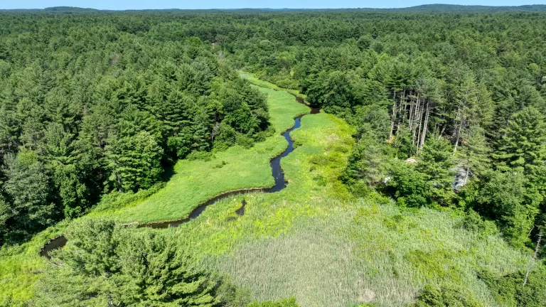
Protecting natural areas and farmland around
the Sudbury, Assabet, and Concord Rivers

Best of Nature Sightings 2025
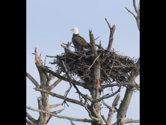
Thanks to the many photographers who share their images with SVT, we added more than 200 photos to our Nature Sightings page in 2025. Here are a few of our favorites that we think are worth a second look.

The Online Auction is Open!
As a complement to our Flower Power Gala, SVT is hosting an Online Auction from January 30 through February 7. Everyone is invited to bid!

Conservation Successes!
SVT recently protected two new landscapes: a 108-acre property on the Upton-Mendon line and 12.8-acres of farmland in Carlisle. We now own 96 properties and hold 107 conservation restrictions.
Latest News
Featured Nature Sightings
Contributed by SVT members and friends, Nature Sightings images show the many species of wildlife that make their homes in the SVT region.


SVT's Impact
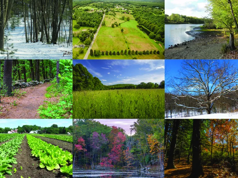
- Over 5,000 acres of fields, forests, and farms protected
- Covering 36 communities around the Sudbury, Assabet, and Concord Rivers
- More than 65 miles of hiking trails in the region
Thank you to the members, supporters, volunteers, and partners who make this work possible.
