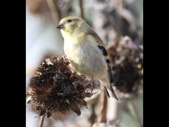
This trail is a gently rolling loop through oak-pine forest with remarkable rock outcroppings and a grove of witch hazel. A wildlife planting area at the far northeast corner contains shrubs and trees that provide food for native pollinators and birds. A short field walk from the wildlife planting area provides a view of Mt. Wachusett in the distance.
Wilfred J. Turenne Wildlife Habitat
Full Description
Turenne Wildlife Habitat is primarily a relatively young, dry oak/hickory forest. There is a mesic slope area on the west side of the property that contains a much richer mixed hardwood forest. Granite outcroppings are scattered around the property.
Fred and Millie Turenne purchased this 18-acre parcel of woodland and meadow adjacent to their home in 1990 to protect it from development. Several weeks later they generously gave it to SVT. An engraved stone at the parking area off Walnut Drive identifies the property as a memorial to Mr. Turenne, who died soon after presenting this gift.
An 1870s map shows that the property had been owned by the Newtons, one of the older families in Southborough. Photos of that time show that the property was used as pasture. Stone walls surrounding the property are further evidence of this land use.
It is likely that the property was then used as a wood lot in the early part of the 1900s. Multi-trunked oak trees that are 80- to 100-years old support this hypothesis.
- SVT, with the help of neighbors and volunteers, created a demonstration wildlife planting area here that includes a diversity of native shrubs and trees that provide habitat for native pollinators and birds. Two stone benches provide a restful place for hikers.
- The overall topography here is irregular and takes advantage of miniature cliffs and occasional glacial erratics to showcase a variety of mature deciduous trees, including red oak, hickory, and black birch. (Erratics are rocks that were carried here by glaciers and remained when the glaciers receded.)
- Wildflowers do remarkably well in the shade of the forest. These include pink lady’s-slipper, Canada mayflower, wood aster, partridgeberry, spotted wintergreen, and rattlesnake plantain.
- The Bay Path, a historic road lined on both sides with stone walls, runs along the southern boundary of the Turenne land and down to Woodland Road.
Directions
With mapping software, search for this address: Walnut Drive, Southborough, MA
From Route 495 take exit 23 to Route 9 east. Follow Route 9 east 2.8 miles just past the Sudbury Reservoir on your left to the traffic light at Oak Hill Road (there will be a Mobil station at the southeast corner). Turn right onto Oak Hill Road and continue .4 mi to Walnut Drive on the right, just past the top of the hill. Follow Walnut Drive about .1 mile. At the point where Walnut Drive makes a sharp left turn, go straight onto the narrow unpaved road. Look for an SVT sign posted up on a tree on the right. Continue driving a short distance along this path (it is passable but drive slowly!) about 30 yards to the parking area on the right. There is room for three cars.
From the east, the traffic light at Route 9 and Oak Hill Road is 3.8 miles west of the Edgell Road overpass above Route 9. Turn left at the light onto Oak Hill and follow the directions above.
Click here to visit Google Maps for specific directions from your home.
Nearby Nature Sightings


