Upper Mill Brook Conservation Area, Wayland
Trails on SVT lands are open, but please follow our SVT Trail Policies During the COVID-19 Crisis as well as our standard Trail Policies.
- Dogs must be leashed and picked up after.
- If a trail is marked "closed," Do Not Enter. (Our trails often cross lands owned by others.)
- Please follow all federal and state orders regarding public activities and masks.
If you encounter a hazard, such as a downed tree that is blocking a trail, please contact us at [email protected] or 978-443-5588.
SVT is a nonprofit conservation organization that protects land for the benefit of people and wildlife. Help us keep these trails open for all to enjoy. Join or Donate today!

Town/City
Wayland
Size
61 acres
Trail Map
Upper Mill Brook Trail Map Brochure
Please note: Peace Lutheran Church graciously allows visitors to park in its parking lot, but parking is not available during church services and other church activities.
The trails at Upper Mill Brook, cooperatively managed with the Town of Wayland, take walkers through a landscape that has seen a variety of uses since colonial times. The trees here are second and third growth trees, indicating that the land was once cleared and cultivated. It is likely that portions of the area were flooded for ice cutting or cultivated as cranberry bogs. Part of the area almost certainly lies within a large “Common Swamp” shown on an early Wayland map.
The area includes parcels protected by SVT and the Town of Wayland through a series of gifts and purchases that began in 1957.
While a basic tour takes about 45 minutes, additional extensions onto Wayland conservation land can add up to another 2 hours. The main trail is easy; however the extension to Claypit Hill Road is moderately difficult.
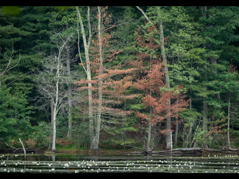
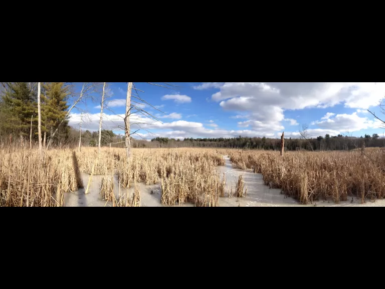
- The land is especially diverse, containing both open and wooded swamps, deciduous woodland, a brook, and several ponds.
- In recent years, beavers have caused flooding, forcing frequent trail closures. The wetlands created by beaver activity provide and enhance habitat for many species of wildlife.
- In May and June, visitors may be rewarded with views of a heron rookery in the beaver pond to the east of the red trail on SVT’s portion of Upper Mill Brook.
- A spring visit brings the added pleasure of wildflowers, including wood anemone, lady’s slipper, and fringed polygala. Along the ponds near Claypit Hill Road there may be a brilliant show of marigolds, but be warned that footing is rough along this path.
- Benjamin Pond is named after its creator, Allen Benjamin (incidentally a founding member of SVT), who dug this pond on his property to have a private place to swim.
- In 2001 a field near the pond was planted with chestnut seedlings as part of the American Chestnut Foundation’s program for breeding blight-resistant trees.
- EMMA pond was constructed in 1964 with funding from Carling Brewery as a demonstration of marsh management for waterfowl, flood control, recreation, and mosquito control.
- The large swamp in the central portion of the property, now a beaver-enlarged wetland, was at one time flooded for use as cranberry bogs and for ice cutting.