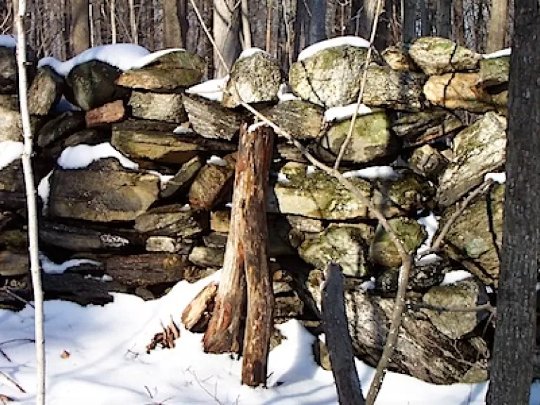
Impressive in their scale and quality, these rock walls were created out of necessity by farmers all across the northeast. After years of glacial activity in the area, ablation, or melt out, left rocks stuck within the ice sheet. The rocks were eventually deposited on the rich lodgement till.
These rocks were ideal for construction because they were abundant and large. They were also angular, which made them easy to carry.
As years went on and New England attracted more settlers, more land was cleared for agriculture. As a result, the soil began to freeze deeper, leading to frost heaving. Frost heaving forced loose stones to the surface as the soil expandeds during cold months. At the end of winter, farmers often had to clear their land of stones to prepare for the growing season.
The period from 1775 to 1825 is referred to as the "golden age of stone wall building." Over 380,000 kilometers (236,121 miles) of stone walls were built during that span, enough wall to reach the moon! Construction of a wall often spanned generations. One generation would carry the stones to the edge of the field, and the next would build the actual wall.

